| Subic Bay | |
|---|---|
 | |
 1902 nautical chart of Subic Bay | |
| Location | Zambales, Philippines |
| Coordinates | 14°45′N 120°13′E / 14.75°N 120.217°ECoordinates: 14°45′N 120°13′E / 14.75°N 120.217°E |
| Basin countries | Philippines |
| Islands | Grande Island |
| Settlements | Olongapo City |
Subic Bay is a bay on the west coast of the island of Luzon in Zambales, Philippines, about 100 kilometres (62 mi) northwest of Manila Bay. It is an extension of the South China Sea, and its shores were formerly the site of a major United States Navy facility named U.S. Naval Base Subic Bay, it is now the location of an industrial and commercial area known as the Subic Bay Freeport Zone under the Subic Bay Metropolitan Authority.[1]
The bay was long recognized for its deep and protected waters, but development was slow due to lack of level terrain around the bay.[1]
History[]
In 1542, Spanish conquistador Juan de Salcedo sailed into Subic Bay but no port developed there because the main Spanish naval base would be established in the nearby Manila Bay. When the British captured this base in 1862, the Spanish were forced to find an alternate location and Subic Bay was found to be a strategic and superb port location. In 1884, King Alfonso XII of Spain decreed that Subic was to become "a naval port and the property appertaining thereto set aside for naval purposes."[2]
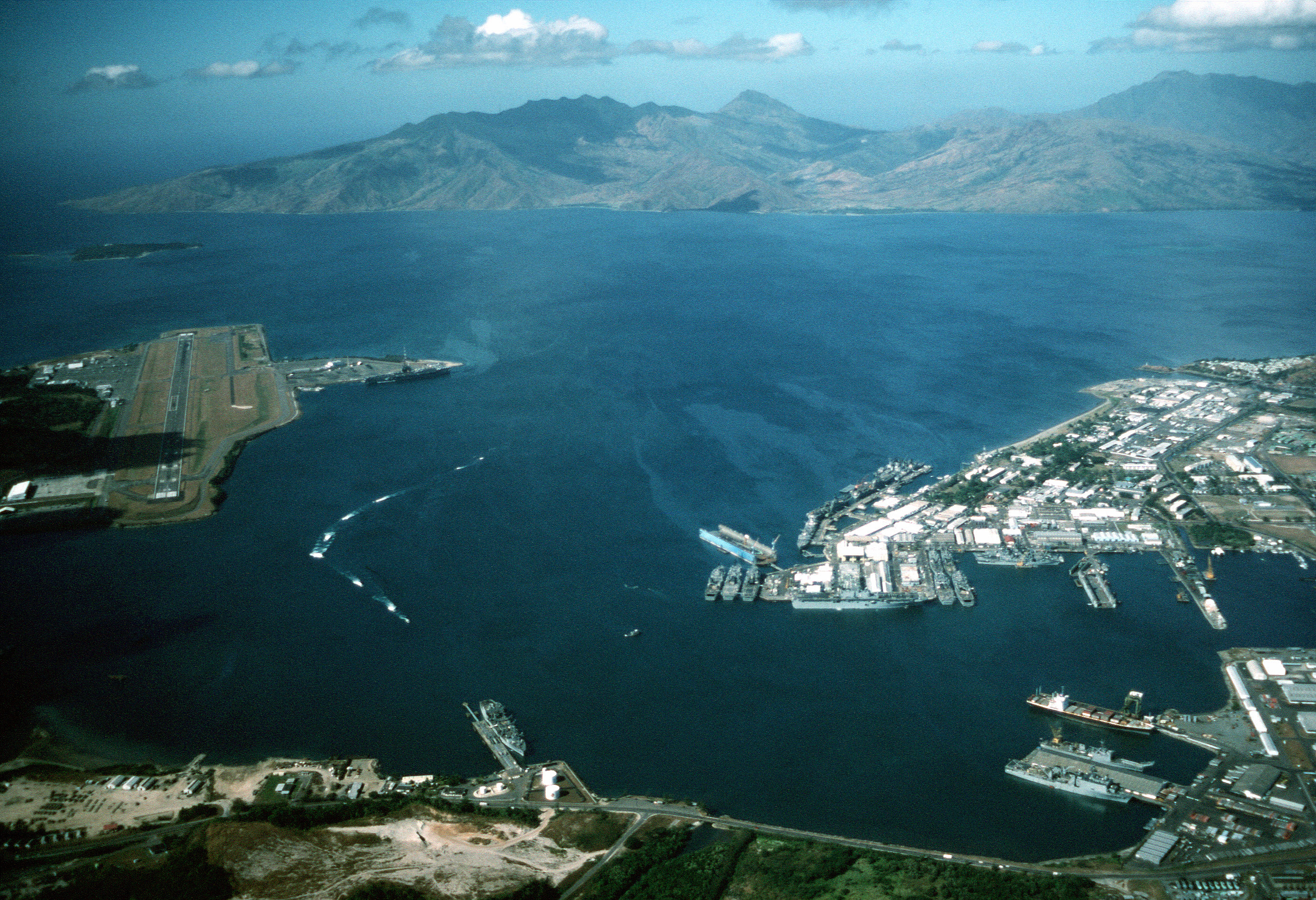
Aerial view of US Naval Base Subic Bay to the right and Naval Air Station Cubi Point to the left in 1990.
In 1899 during the Philippine–American War, the Americans captured the Spanish base and controlled the bay until 1991. During this period, the naval facilities were greatly built up and expanded, including a new naval air station (Naval Air Station Cubi Point) that was built in the early 1950s by slicing the top half from a mountain and moving the soil to reclaim a part of Subic Bay. In 1979, the area under American control was reduced from 24,000 hectares (59,000 acres) to 6,300 hectares (16,000 acres) when the Philippines claimed sovereign rule over the base.[1][2]
Following the destruction of the 1991 Mount Pinatubo eruption, the Americans closed the base, and the area was transformed into the Subic Bay Freeport Zone.
In 2012, controversy arose when a Malaysian shipping firm was accused of dumping toxic waste into Subic Bay. MT Glenn Guardian, one of the vessels owned by the firm, had collected some 189,500 litres (41,700 imp gal; 50,100 US gal) of domestic waste and about 760 litres (170 imp gal; 200 US gal) of bilge water from USS Emory Land, an American Navy ship. Since the Malaysian firm was under contract by the US Navy, this incident reignited anti-American sentiments in the Philippines.[3]
Shipwrecks of Subic Bay[]
The majority of the wrecks in Subic Bay are a result of either the Spanish–American War in 1898 or of World War II, where a number of Japanese vessels were sunk by American aircraft.[4]
- El Capitan was a freighter of nearly 3,000 tons just under 130 meters long. She sank in Subic Bay where she rests on a sloping bottom.
- Hell ship Oryoku Maru: On 15 December 1944, she had 1,619 American and British prisoners of war on board when she was sunk, under heavy bombardment by American fighters while on her way from Subic Bay to Japan. She was less than half a kilometer off the Alava Pier when attacked. About 300 prisoners died during the short voyage from Manila and during the attack.
- Seian Maru: During an air raid on Subic Bay, the 3,712 ton freighter Seian Maru was bombed and sunk. This was only four days after the sinking of the Oryoku Maru on 19 December 1944.
- LST (Landing Ship, Tank) This is one of the large LSTs that litter the floor of Subic Bay. She was scuttled in 1946 in the middle of Subic Bay between the southern tip of the runway and Grande Island.
- The old USS New York (ACR-2), which had been renamed the USS Rochester (CA-2) in 1917. At the onset of the Japanese invasion of the Philippines, this ship was acting as a floating workshop and storehouse. Already decommissioned, the armored hull of the old cruiser was too valuable to allowed to be captured, and so she was scuttled in December 1941 by American forces.
- San Quentin: During the Spanish–American war in 1898, the Spanish scuttled their San Quentin in the hope of blocking the passage between Grande Island and Chiquita Islands near the mouth of Subic Bay.
See also[]
- Port of Subic
- Subic Bay International Airport
- Subic, Zambales
References[]
- ↑ 1.0 1.1 1.2 Martin W. Lewis (October 22, 2010). "Subic Bay: From American Servicemen to Korean Businessmen". GeoCurrents. http://geocurrents.info/geopolitics/subic-bay-from-american-servicemen-to-korean-businessmen. Retrieved 16 August 2013.
- ↑ 2.0 2.1 "History". Subic.com. http://www.subic.com/history.php. Retrieved 16 August 2013.
- ↑ "Dumping of US toxic wastes in Phl triggers anti-American rhetoric". philstar.com. November 14, 2012. http://www.philstar.com/breaking-news/2012/11/14/866561/dumping-us-toxic-wastes-phl-triggers-anti-american-rhetoric. Retrieved 16 August 2013.
- ↑ Andy Davis. "The Subic Bay Dive Sites - Shipwreck Heaven". Scuba Tech Philippines. http://scubatechphilippines.com/scuba_blog/subic-bay-dive-site/. Retrieved 16 August 2013.
External links[]
| Wikimedia Commons has media related to Subic Bay. |
- The Official Tourism Website for Subic Bay, contains visitor and accommodation information (Authorized by SBMA)
- Official website of Subic Bay Metropolitan Authority (Govt)
- News Source
The original article can be found at Subic Bay and the edit history here.